Reading – River Walk 1
Caversham and Christchurch Bridges
A scenic riverside walk from Reading Railway Station through the underpass, across Christchurch and Caversham Bridges, and back along the peaceful south bank of the Thames, offering a mix of urban views and natural beauty.
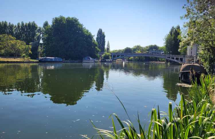
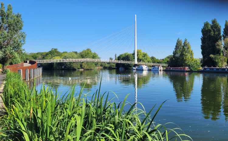
Looking east from near Caversham Bridge
Start your walk at Reading Railway Station and head through the underpass tunnel beneath the station, emerging near the River Thames. Follow the riverside path east and cross the modern Christchurch Bridge, enjoying views of the water and the mix of historic and contemporary buildings along the riverbanks. Continue across Caversham Bridge, which connects the town center to the leafy suburb of Caversham.
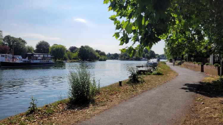
For your return, walk along the quieter south side of the Thames, taking in peaceful riverside scenery, occasional boats, and green spaces perfect for a break. This route offers a pleasant blend of urban sights and natural beauty, ending back at Reading Railway Station after a refreshing riverside stroll.
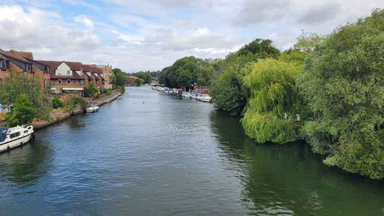
Looking east from near Caversham Bridge
Map Instructions
Navigating the Map
Follow the numbered markers in ascending order. If the route loops back on itself, markers for both directions may appear at the same location or appear out of sequence. Directions are given at the bottom of the popup associated with each numbered marker.
Interacting with the Markers
Click/tap the numbered markers for information about that point and route directions. Click on the lettered markers for points of interest along the route.
Zooming
Use the zoom controls in the top left corner (e.g. + / −) to zoom in and out of the map. On touch screens, you can also pinch with two fingers. On a laptop, use the mouse wheel to zoom in and out.
Re-centering
Click the ‘RE-CENTRE MAP’ button to re-centre the map.
User Location
If using a mobile device, your location is shown as a blue dot, so you can easily check you’re on course.
Scrolling the Page
If on a touch screen, use the bar on the left to scroll the page.
Route Summary & Highlights
Below is a step-by-step breakdown of the route. Each numbered section matches the markers shown on the above map and includes clear directions to guide you along the way.
Beneath each step, you’ll also find information about nearby points of interest (marked with letters on the map), helping you discover more as you go. You can expand each step to read through the journey in order or use it as a quick overview before setting off.
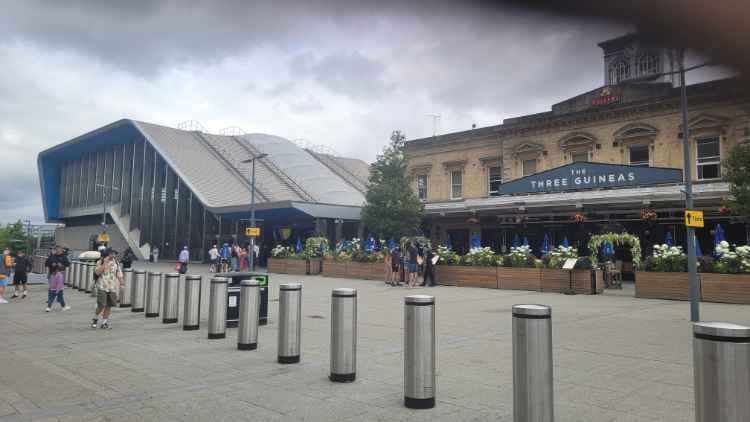
Reading Station
Directions:
Walk west, keeping the station on your right. Go down the steps and enter the tunnel beneath the station.
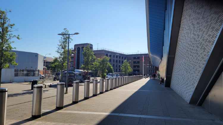
Reading Railway Station Tunnel (South Entrance)

Directions:
Take the tunnel short cut towards the river Thames.
Railway Station Tunnel (northern exit)
Directions:
Turn right passing the Reading Station ticket office on your right, then left towards Vastern Road.
Vastern Road (south side)
Directions:
Cross over Vastern road, then turn right and left into Norman place.
The River at Norman Place


Directions:
Turn left and walk along the river and up the ramp leading to Christchurch bridge
Christ Church Bridge (South Side)

Directions:
Cross the bridge over the Thames.
Christchurch Bridge
Christ Church Bridge (North Side)
Directions:
Turn left and follow the footpath towards the river.
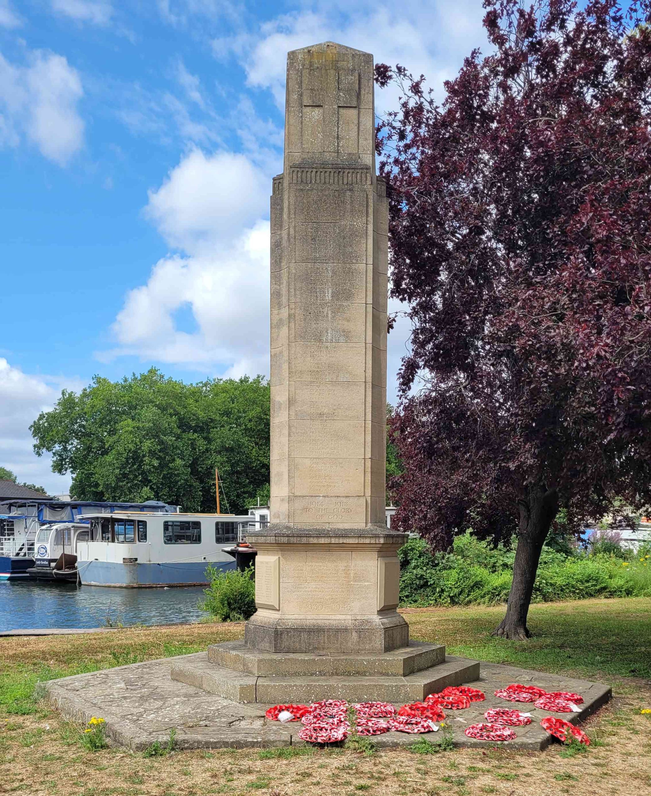
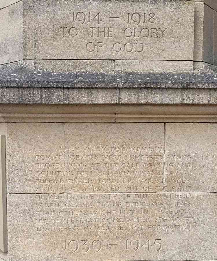
War Memorial
River Path (North Side)
Directions:
Follow the path to the right and walk towards Promenade road.
Promenade Road/A4155
Directions:
Turn left on to Bridge street and walk over the bridge.
Caversham Bridge
Bridge St.
Directions:
Turn left and follow the footpath to the river.
Thames Path near Caversham Bridge
Directions:
Turn right and walk along the Thames path.
Caversham Bridge (south-east side)


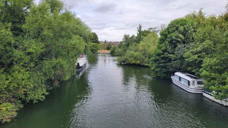
Fry's Island
The River at Norman Place
Directions:
Turn right into Norman place, when you reach Vastern road turn right towards the pedestrian crossing.
Vastern Road (North Side)
Directions:
Walk over the pedestrian crossing and continue towards the station then right towards the tunnel.
Railway Station Tunnel (north exit)

Directions:
Take the tunnel short cut towards the main station entrance.
The train station tunnel
Directions:
Turn left then up the stairs towards the railway station main entrance.